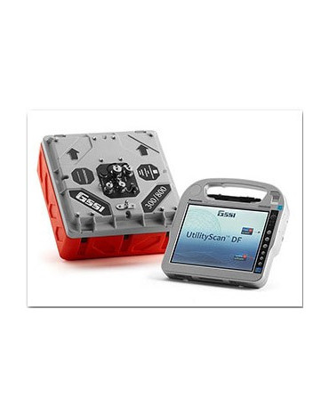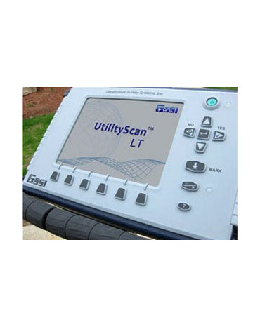
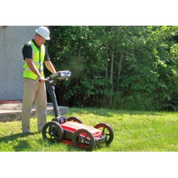
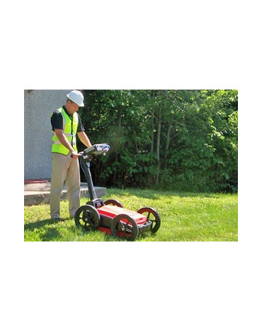
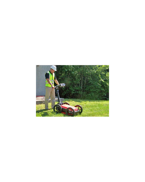

UtilityScan™ is the industry standard ground penetrating radar solution for the designation of subsurface utilities. With UtilityScan, users can quickly identify and mark the location and depth of service utilities – gas, communications, sewer lines – and other metallic and non-metallic targets including underground storage tanks and PVC pipes.
The UtilityScan family is configurable and provides the flexibility to address a wide range of utility applications. The selection of the appropriate antenna and cart tailor UtilityScan beyond utility operation to address NDT and environmental applications, including bridge deck assessment and concrete scanning.
Regardless of the configuration, UtilityScan delivers exceptional data quality while being rugged enough to stand up to years of field use.
Typical Uses for UtilityScan Include:
Benefits:
http://www.geophysical.com/utilityscan.htm
More information: UtilityScan Brochure

UtilityScan™ is the industry standard ground penetrating radar solution for the designation of subsurface utilities. With UtilityScan, users can quickly identify and mark the location and depth of service utilities – gas, communications, sewer lines – and other metallic and non-metallic targets including underground storage tanks and PVC pipes.